Drone Services in India — Inspection, Survey & Mapping

AiRotor Labs is a DGCA-compliant drone services company based in Ahmedabad, Gujarat, delivering industrial drone inspection, aerial survey, and 3D mapping across India. We manufacture our own UAVs, fly the missions, and process the data on our own software — so one team is accountable from take-off to final report.

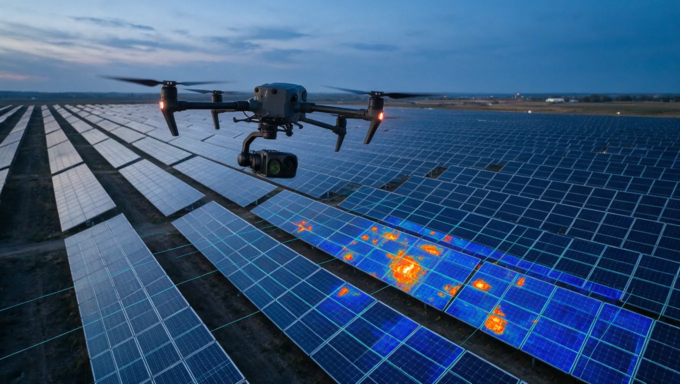
Drone with thermal camera flying over a utility-scale solar farm at dusk with hotspot overlay

Solar plant inspection

Thermal and high-resolution RGB inspection of utility-scale and rooftop solar plants. We identify hotspots, cracked cells, diode failures, soiling losses, and string outages across thousands of modules per flight, and return a georeferenced defect map tied to your inverter and string IDs. Typical throughput is 8–15 MW per day depending on layout.

Solar panel drone inspection →
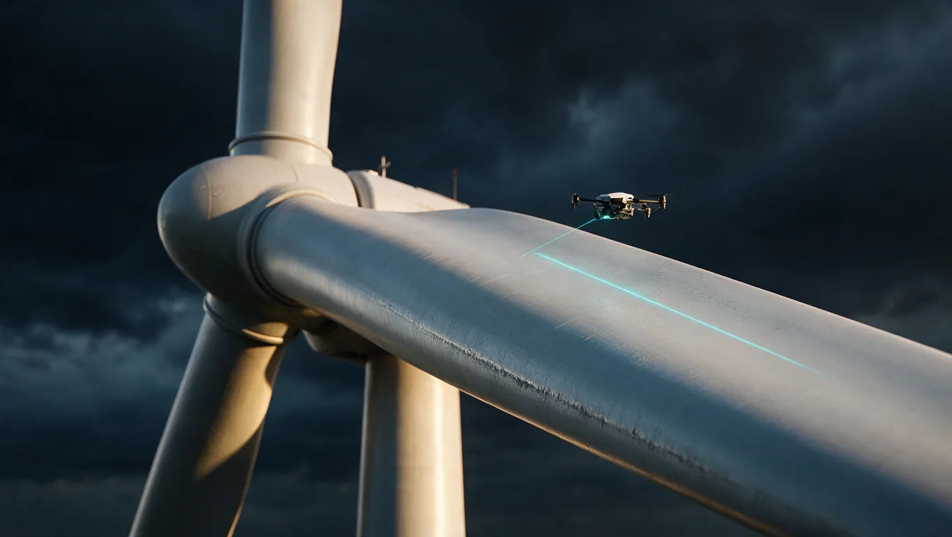

Inspection drone scanning the leading edge of a wind turbine blade against a stormy sky

Wind turbine blade inspection

High-zoom blade imaging without rope access or downtime beyond a short stationary window. We capture all four blade surfaces, classify leading-edge erosion, lightning strike damage, cracks, and bond-line defects to a severity scale, and deliver a per-blade report your O&M team can action.

Wind turbine drone inspection →
Drone flying along a high-voltage transmission line corridor at dusk

Transmission line & powerline survey

Corridor inspection for transmission and distribution networks — conductor and insulator condition, thermal anomalies at joints and splices, tower hardware defects, sag and clearance measurement, and vegetation encroachment mapping along the right of way, including BVLOS corridors where permitted.

Transmission line inspection →
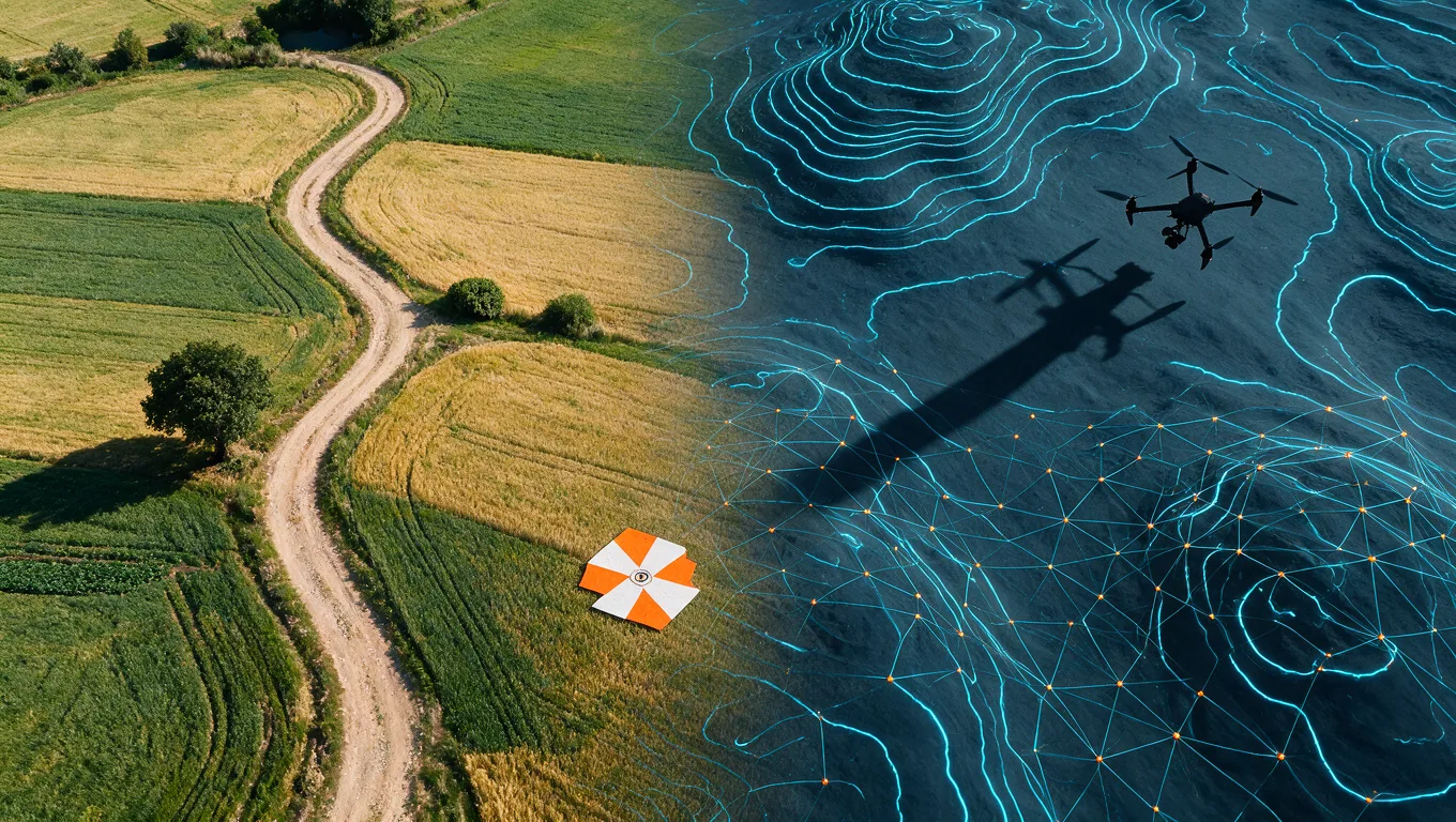
Aerial terrain transitioning into a digital elevation model with contour lines and a ground control target

Land survey & topographic mapping

Photogrammetry and LiDAR survey for infrastructure, real estate, mining, and agriculture. Deliverables include orthomosaics, DTM/DSM, contours, volumetrics, and CAD-ready outputs, with RTK/PPK ground control for survey-grade accuracy on plots from five acres to 2,000+ acre corridors.

Drone land survey →
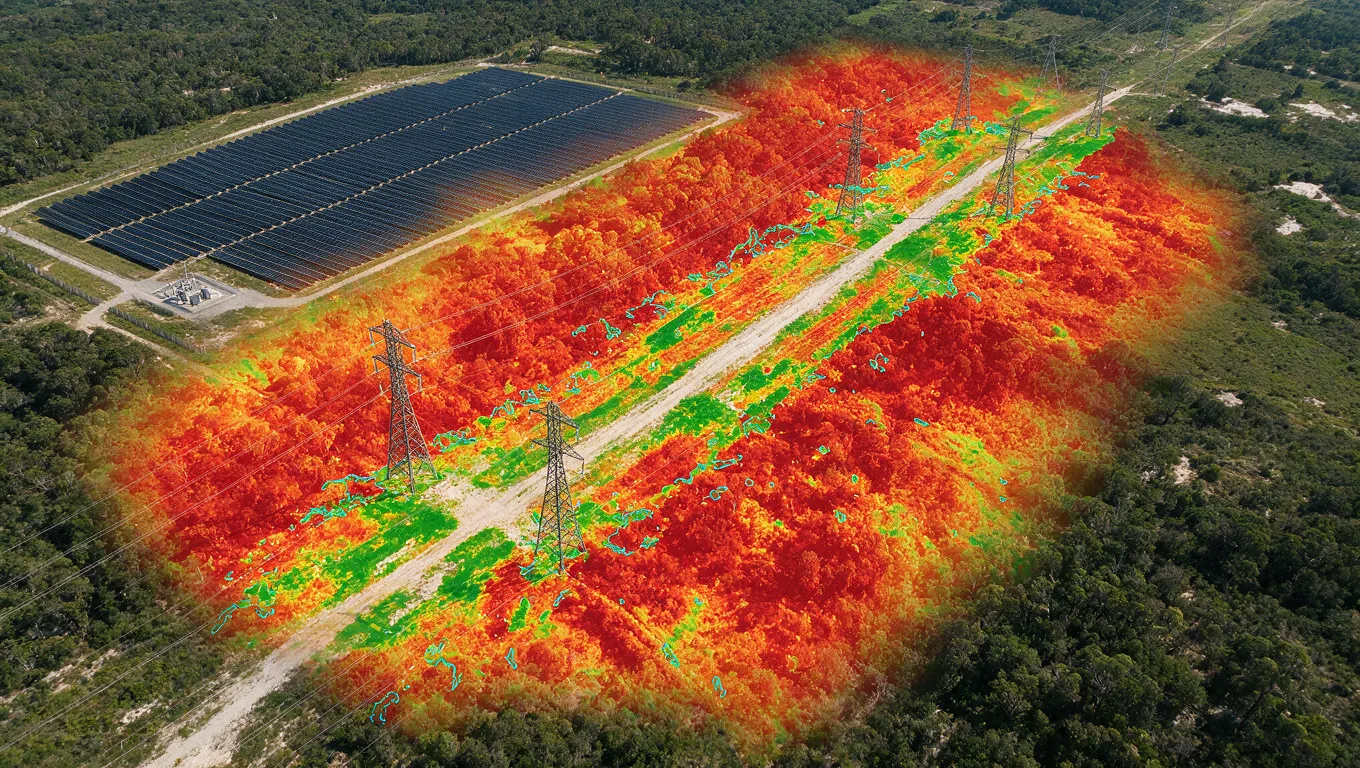
NDVI false-colour overlay on a powerline corridor beside a solar plant showing vegetation risk zones

Vegetation & encroachment intelligence

Multispectral analysis for solar plants and powerline corridors — NDVI-based growth mapping, risk-ranked encroachment zones, and change detection between flights so maintenance crews are sent where the risk actually is rather than on a fixed cycle.

Vegetation intelligence →
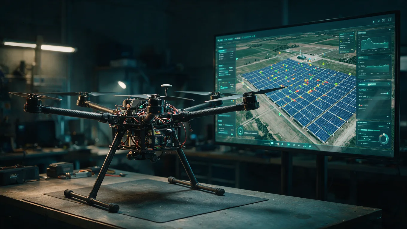
Heavy-lift industrial hexacopter on a workbench beside a monitor showing a solar plant digital twin

Drone manufacturing & software

We build custom industrial UAV platforms for heavy payloads and long endurance, and run AiServe, our own analytics platform for processing aerial datasets into defect reports and digital twins. Owning both hardware and software is why we can take responsibility for the whole chain.

Drone manufacturing →

Industries We Serve

Every sector measures different things. These pages cover what we fly, what we deliver, and what it costs for each.

Mining & Quarrying →

Stockpile volumetrics, pit progress surveys, highwall monitoring and haul-road condition mapping for operating mines and quarries.

Railways & Metro →

Corridor mapping for new alignments, bridge and OHE inspection without track possession, and right-of-way encroachment monitoring.

Oil, Gas & Pipelines →

Flare stack and vessel inspection without shutdown, pipeline right-of-way patrol, tank farm survey and thermal screening.

Construction & Real Estate →

Pre-construction topographic survey, earthwork volumetrics, monthly progress mapping and as-built verification.

SCAN

Inspections & Monitoring

Reduce downtime and risks. We specialize in wind turbine, solar panel, and structural inspections using high-res and thermal imaging.

3D MAPELEV 847m

Surveying & Mapping

High-precision topographical surveys, 3D modeling, and volumetric calculations for construction and mining.

!FIRE SUPPRESSION

Emergency Response

Specially modified drones for firefighting and disaster management, capable of carrying payloads for immediate response.

MED DELIVERY

Medical & Delivery

Fast, reliable transport of critical medical supplies and essential cargo across challenging terrains.